
Photos from the Horse Trails
-
 The Independence River
 -
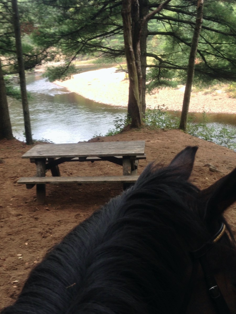 High Banks Trail picnic table
 -
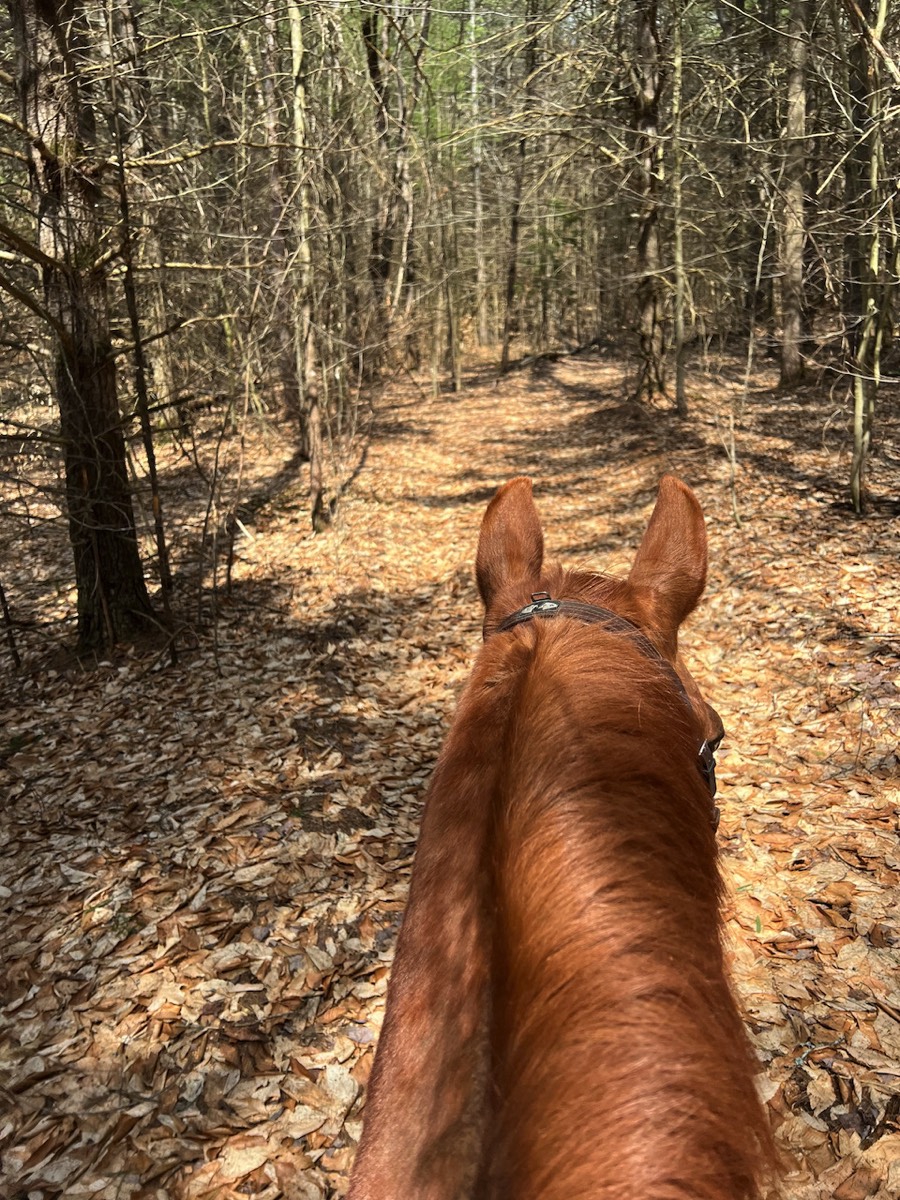
 On Burnt Creek Trail
 -
 Follow the Blue Trail markers to get to the horse trails from Camp K
 -
 On Chase Creek Trail
 -
 Bailey Rd bridge
 -
 Proceeding Trail
 -
 Payne Lake
 -
 Lunch break on Streamside Trail
 -
 Riding Frost Pocket Trail
Whenever you ride, be sure to:
REMEMBER: If you don't have cell service, you can still write a TEXT and it will send automatically when you have service.
- carry a cell phone
- have a map
- have emergency phone numbers
- wear a helmet
REMEMBER: If you don't have cell service, you can still write a TEXT and it will send automatically when you have service.
About Otter Creek Horse Trails
There are about 65 miles of maintained horse trails in the wild forest preserves of upstate NY. They are managed and maintained by the NYS Department of Environmental Conservation. Check the NYSDEC website for guidelines on trail usage.
Camp K and the other Horse Camps at Otter Creek are located at the northern section of the Otter Creek Horse Trail system. These trails are not as heavily used as the trails near the Assembly area and south.
If you want to ride the southern section of the trail system, you will need to trailer to the overflow parking lot of the Assembly area.
View or download a map of the horse trail system.
If you want to ride the southern section of the trail system, you will need to trailer to the overflow parking lot of the Assembly area.
View or download a map of the horse trail system.
The trails in the northern section are sandy, whereas; in the southern section they tend to be more rocky. You will find flatlands, hills, water crossings, bridges, and even lakes where your horse can drink.
There are also tie rails and picnic tables on some trails for a relaxing stop for lunch. In the summer, you can even pick raspberries and blueberries which grow wild throughout.
Thankfully, ATV's are not allowed on the horse trails.
There are also tie rails and picnic tables on some trails for a relaxing stop for lunch. In the summer, you can even pick raspberries and blueberries which grow wild throughout.
Thankfully, ATV's are not allowed on the horse trails.
Getting to the Otter Creek Horse Trails from Camp K
- Follow the marked BLUE TRAIL from Camp K which takes you to Tractor Rd.
- The BLUE TRAIL can be accessed from the north side of the driveway to the left of the Sugar Shack outbuilding. It is clearly marked with BLUE markers and directional signs on the trees.
- After going through the woods, you will pass behind Abbey Lane and the Hideaway campsite just before you get to Tractor Rd.
- Turn left (see sign for Horse Trails) and follow to Beach Mill Rd. Check out your trail map to decide where to go from there.